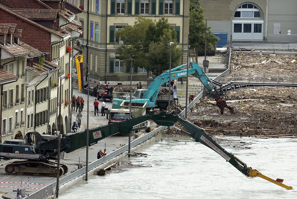
Huge amounts of driftwood clogged the Aare River after the Swiss capital was flooded in 2005
Keystone
Mapping of settled regions potentially at risk from natural disasters – flooding, avalanches, landslides and rock falls – is almost complete, the Federal Office for the Environment announced on Monday.
This content was published on
1 minute
swissinfo.ch
The maps have been completed in 93% of regions, said Roberto Loat, who leads the annual production of maps identifying areas at risk.
Surveys of the few remaining at-risk settlements, which are spread throughout the cantons, should be completed by 2016, he said.
A next step will be to use the information to ensure that construction in at-risk areas takes these risks into account. In addition, most of the maps are available online, allowing private persons to take measures to prepare for potential disasters.
In the future, surveys of unsettled regions, including important routes of transit, will be conducted.
Switzerland is one of the first countries in the world to have carried out such a survey. Internationally, there is great interest in the know-how accumulated in Switzerland – for example, from the Organization for Security and Co-operation in Europe.
You can find an overview of ongoing debates with our journalists here. Please join us!
If you want to start a conversation about a topic raised in this article or want to report factual errors, email us at english@swissinfo.ch.
Read more
More
The cost of standing up to earthquakes
This content was published on
The earthquake in northern Italy on May 20 highlighted yet again the need for all buildings to include anti-seismic measures. The quake destroyed large numbers of historic buildings, which were obviously constructed long before it was known how to protect them, but also several modern facilities, especially industrial buildings. In Switzerland, around 90 per…
This content was published on
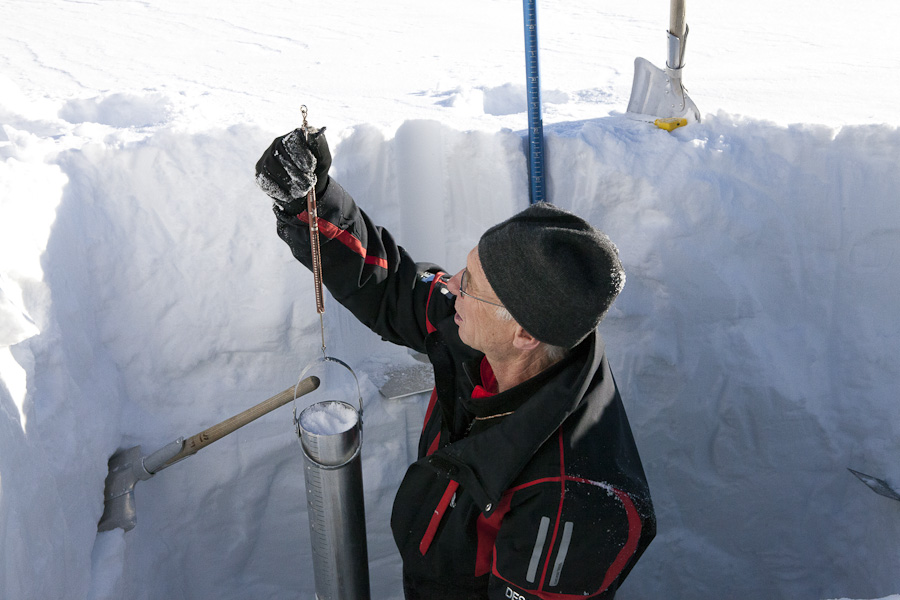
“We can now compare the current situation with other situations in previous years, and tell the flood forecasters if there is significantly more snow than average in the mountains that is due to melt over the next couple of days,” says researcher Tobias Jonas. Jonas is a hydrologist at the Swiss Federal Institute for Forest,…
This content was published on
In the hot noonday sun the Epeisses rescue training centre near Geneva is like a ghost town. Everywhere there are hulking piles of rubble and concrete. Buildings rest at impossible angles, their floors compressed so that they resemble the layers of a sandwich. They wait to swallow the latest group of soldiers who have come…


You can find an overview of ongoing debates with our journalists here. Please join us!
If you want to start a conversation about a topic raised in this article or want to report factual errors, email us at english@swissinfo.ch.