New Swiss hiking maps released for summer
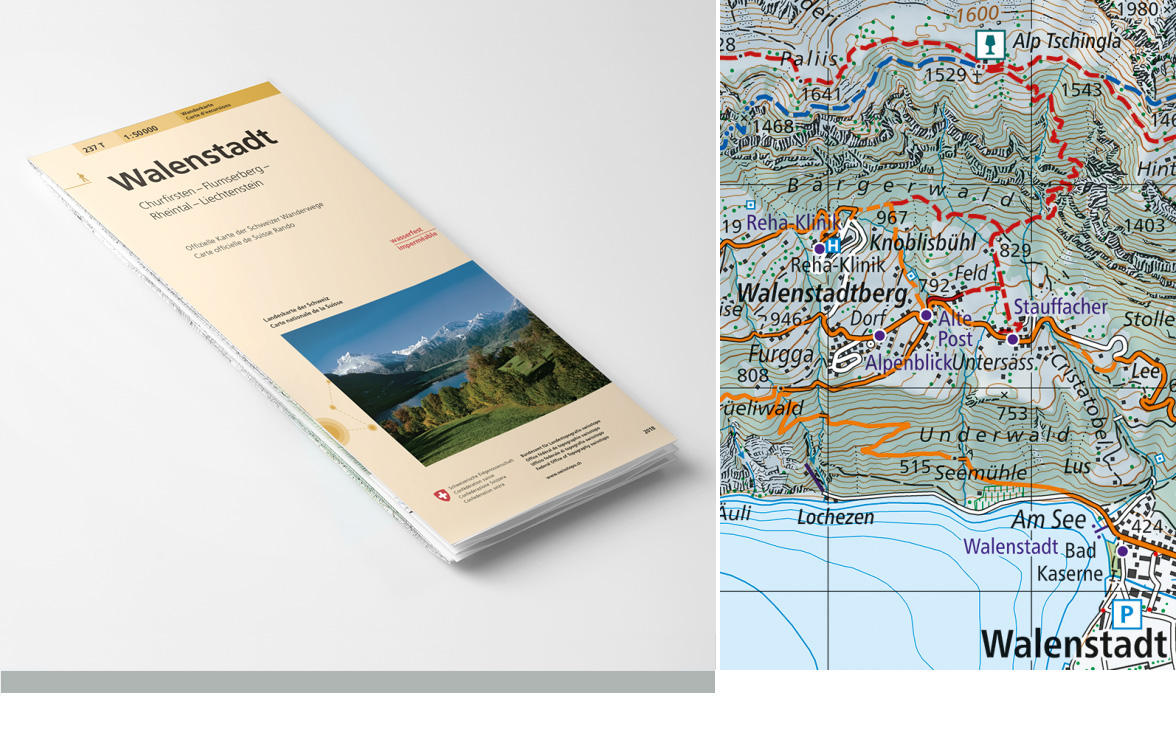
The Federal Office of Topography (swisstopo) has released the first of the new generation of hiking maps with user-friendly graphics.
Sixteen new hiking maps, based on the 1:50,000-scale national map, were released for sale on Thursday. They were created in cooperation with the Swiss Hiking Federation and the graphics were updated after carrying out a public online survey.
Among the new elements, thematic content has been integrated with topographical information instead of just being added as a layer. Hiking trails, mountain hiking trails and alpine hiking trails have also been differentiated with the colours yellow, red and blue to match signs used on paths. Other features include pictograms that indicate points of interest, observation towers, castles, secluded inns, mountain huts, car parking, summits and fixed-rope routes.
The sixteen new mapsExternal link cover the following regions: Olten, Rotkreuz, Bern, Sardona, Zürich, Lachen, Escholzmatt, Bulle, Rapperswil, Walenstadt, Stans, Gantrisch, Willisau, Avenches, Klausenpass and Interlaken.
Swisstopo plans to release all 59 maps by 2020 ensuring all of Switzerland is covered with the new generation of hiking maps.
The new maps are slimmer than before (folded 11 x 22 cm) and all information is depicted on one side. They are also tougher than before thanks to waterproof and tear-resistant paper.
More
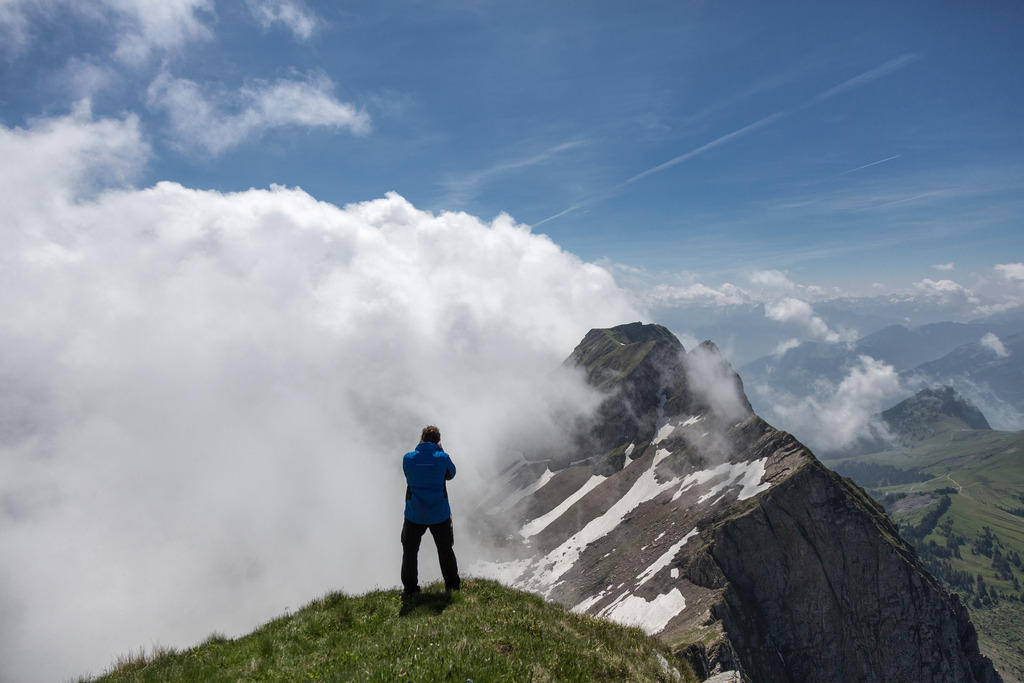
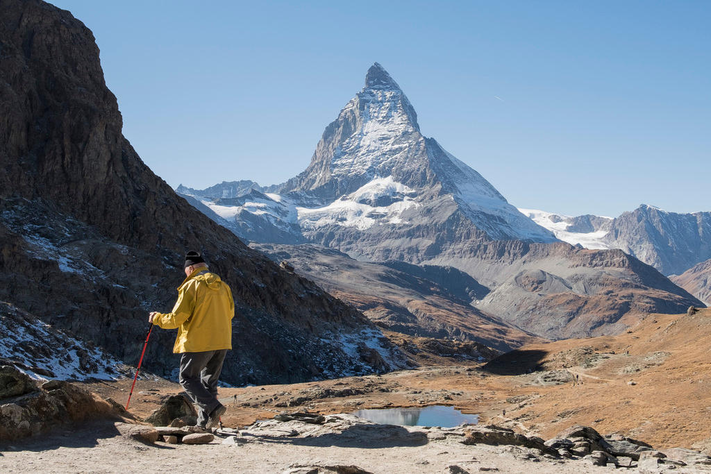
The Alps: a fatal attraction for older men?

In compliance with the JTI standards
More: SWI swissinfo.ch certified by the Journalism Trust Initiative

You can find an overview of ongoing debates with our journalists here. Please join us!
If you want to start a conversation about a topic raised in this article or want to report factual errors, email us at english@swissinfo.ch.