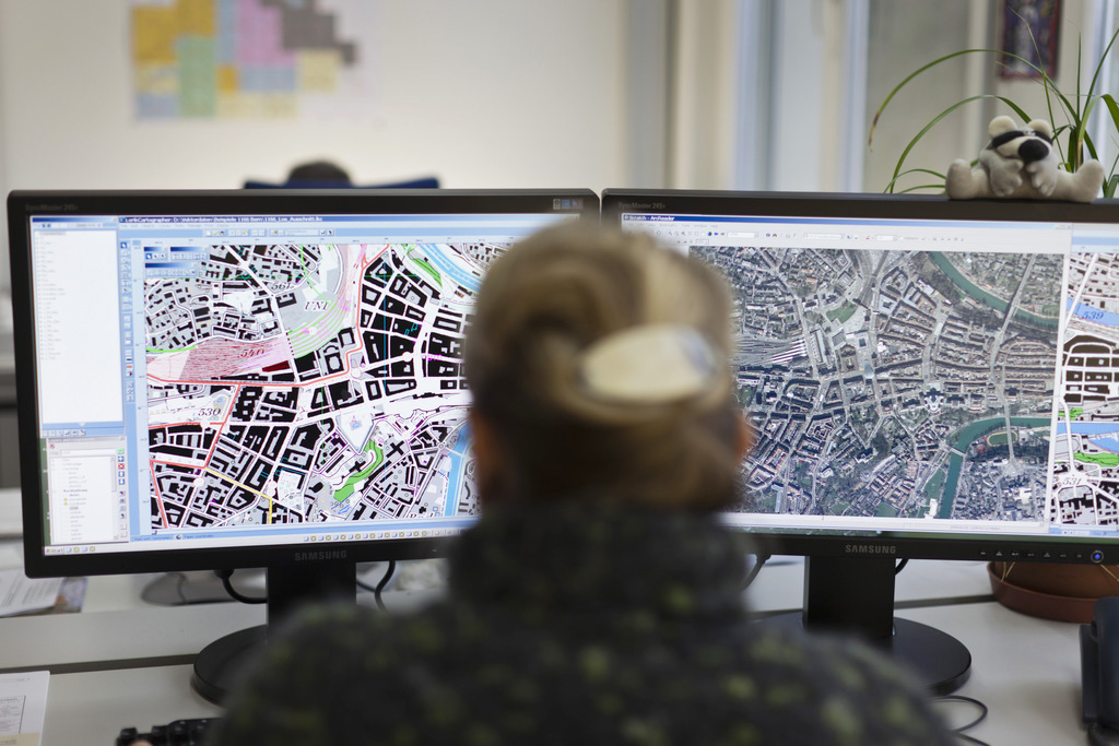
Swiss maps are better than ever
The Swiss are world leaders in mapmaking. Now, for the first time, the federal mapping agency swisstopo has created a map for smartphones or computers that can display “geodata” – computerised geographical data – on a scale of 1 to 10,000. (SRF/swissinfo.ch)
The new national maps are more detailed than ever. They are accessible for everyone on desktop and mobile, and increasingly innovative to meet the demands of a world in which anyone who owns a smartphone can download GPS and map data from anywhere.
For example, swisstopo devised an online “time travel” tool that allows users to choose a spot on the Swiss map and watch, through an instant overlay of map editions, how that place has changed over a certain period of time.
Demand for up-to-date and accurate geodata is constantly increasing, swisstopo says. In a first, a new map of the nation is to be automatically produced each year. Swisstopo still prints paper maps on a scale of 1 to 25,000. Half a million every year if only because no one else can economically produce them. Five times as many are printed out by people at home.
You can find an overview of ongoing debates with our journalists here. Please join us!
If you want to start a conversation about a topic raised in this article or want to report factual errors, email us at english@swissinfo.ch.