


Scanning the skies for airborne trouble
A Swiss-led network of monitoring stations will track volcanic ash to avoid future groundings of European airlines. It’s a tricky and slow undertaking since the main task will be to co-ordinate the work of no fewer than 17 national weather services.
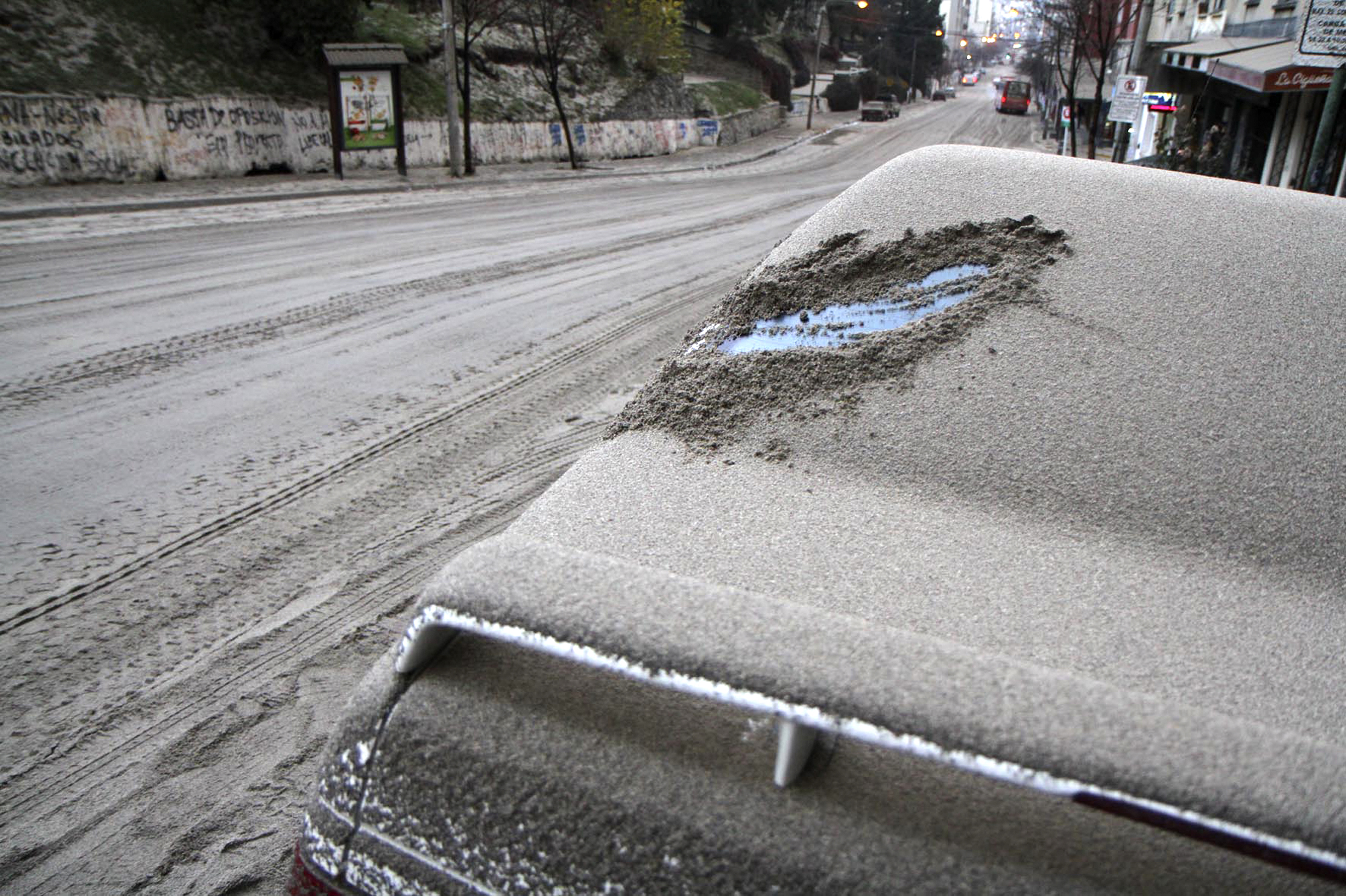
In 2010, travellers first heard of an Icelandic volcano with unpronounceable name: Eyjafjallajökull. To their despair (and that of broadcast journalists everywhere), it cleared its throat and released enough thick ash to ground flights across Europe and empty vast swaths of the skies.
To help avoid a repeat situation, it’s in the small Swiss town of Payerne that the E-Profile ash-monitoring network has been quietly launched at the station run there by Meteoswiss.
It was in Payerne in 2010 that the volcanic cloud and ash concentrations in Swiss airspace were monitored and analysed using the powerful laser-based Lidar system.
On this particular sunny spring day, it’s so quiet that you can hear the bees buzzing next to the arrays of outdoor monitoring equipment. Dominique Ruffieux of Meteoswiss, the national weather service, points to a non-descript blue box, saying it will be one of the network’s basic building blocks along with wind profile radars.
It uses an ultraviolet light source to measure cloud base height and the presence of aerosols such as ash in the atmosphere (see related video).
“These ceilometres are much cheaper than the Lidar system, but hopefully they can do the same job for us,” Ruffieux told swissinfo.ch.
The idea is to install the ceilometres (see video) across Europe, using a few Lidar devices to calibrate their results.

More
Predicting the movement of volcanic ash
Cost ceiling?
How much will all this cost? So far, there is no easy answer. The network itself is only a modest investment, estimated at around CHF200,000 annually for the next five years.
“The money is not going towards the physical construction of a network,” said Bertand Calpani, head of the Payerne station. “The funding is only going towards better coordination between European meteorological services.”
The installations themselves are being funded by the national weather services, who decide alone which equipment to purchase. Germany for example is well on the way to completing its national network, while others are just starting.
The difficulty stems from the fact that 17 countries are participating in the project, all with their own setups. “Because the results are heterogeneous, we need to coordinate so we can deliver a good product to the airlines, airports and aeronautical authorities,” added Ruffieux.
Despite everyone seemingly agreeing that a continental monitoring system was necessary, it has taken three years to get it started.
“You have to have coordination at the national level to measure, for example, ash plumes before even considering continental coordination,” he points out. “Since the events of 2010, much of the effort has gone into setting up national systems.”
To highlight the difficulty, he says that knowledge alone is insufficient.
“In 2010, […] we were able to detect in real time the end of the plume, but in fact because of coordination problems, Swiss airports weren’t able to open until two or three days later. And the delay was extremely expensive for the airlines.”
While Meteoswiss is the leading agency of the E-Profile project, it is Britain’s national weather service that is responsible for the hub that collects and redistributes the data collected across Europe.
Following the 2010 eruption of Eyjafjallajökull, the air safety authorities ordered the grounding of thousands of planes for nearly a week, which cost airlines about $1.8 billion in lost revenue, according to the International Civil Aviation Organization (IATA).
It was not an isolated incident in Europe. Only a year later another Icelandic volcano, Grímsvötn, caused further airspace disruptions.
In both cases, air safety specialists had little information at their disposal about the ash plumes wafting across Europe.
Dominique Ruffieux of Meteoswiss says the new monitoring network is the “result of political and economic necessity”.
Dangerous concentration
For weather specialists, it is important to track events in real time, pinpointing both the arrival of a plume as well as when it leaves the airspace, making it possible for authorities to reopen airports safely as soon as possible.
But they also want to monitor ash concentrations carefully. “We need to know if it is high enough to damage aircraft,” adds Ruffieux. “It is much more complicated because it involves a vertical measurement. Depending on the result, a flying aircraft will or will not be affected.”
If the concentration is high enough, a jet engine can be severely damaged or even shut down, compromising flight safety.
In 2010, it was not possible to measure to the horizontal and vertical distribution of the ash plume. To decide if it was safe to take to skies once again, aviation officials relied on a mix of test flights, estimates of ash concentrations and constructor data.
The Swiss Federal Office of Civil Aviation (FOCA) told swissinfo.ch that it welcomed the development of the network over the next few years, although it will not rely solely on the network for data.
“Measurements carried out by the European monitoring network can give the height and the thickness of the ash layer, but can only give us a very limited profile of the ash concentration. Airborne measurements are needed to complete the picture,” it said.
The FOCA has its own airborne detection platform that it can mount in a few hours on board a twin-propeller aircraft, allowing it to determine whether ash is concentrated at lower, middle or upper altitudes based on aviation requirements.
However, the researchers and weather specialists behind the monitoring project are confident it will provide good results and prove to be a model elsewhere.
“It is a demonstration project,” said Calpini. “The World Meteorological Organization in Geneva will probably take this example to show what can be done in other parts of the world such as South America or Asia where there is regular volcanic activity.”
E-Profile relies on two types of measurement: one involves the existing wind profiling radars across Europe that can determine the direction an ash plume is headed; the other is carried out by some 200 ceilometres spread across the continent that can detect the presence of aerosols and ash in the atmosphere. Combining the two sorts of information can give the altitude and direction of an ash plume.
E-Profile is also part of a wider European project, EUCOS, aimed at optimising weather observations across the continent.
The project team will spend the first two years looking at technical and administrative solutions if an ash plume threatens European airspace again. The three following years will be used to test the system, which could become operational as early as 2017.
There are more than 500 active volcanoes in the world.
Examples of previous volcanic eruptions that impacted airline operations and airport closures:
1980 – Mt St. Helens, US
1982 – Galungugung, Indonesia
1991 – Pinatubo, Philippines
1997 – Popocatepetl, Mexico
2010 – Eyjafjallajokull, Iceland
2011 – Puyehue-Cordón Caulle, Chile
2011 – Grimsvötn, Iceland
As of 2010, there have been 94 confirmed ash encounters – 79 with some degree of engine or airframe damage, nine involving at least one engine shut-down in flight.
(Source: IATA)

In compliance with the JTI standards
More: SWI swissinfo.ch certified by the Journalism Trust Initiative
You can find an overview of ongoing debates with our journalists here . Please join us!
If you want to start a conversation about a topic raised in this article or want to report factual errors, email us at english@swissinfo.ch.