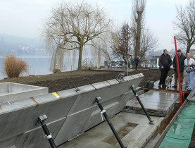
Flood maps highlight areas at risk
Maps detailing areas with potential flood danger have been compiled by the Federal Environment Office and reinsurance firm Swiss Re.
The maps are the first to cover the entire country. They serve as another tool for assessing flood risks and potential damages based on various circumstances, including what would happen if current safeguards were to fail.
Individual cantons are currently building maps that show potential danger zones from all forms of natural disasters, including floods, avalanches, landslides and rock fall. About half are complete and the remainder are due to be finished by 2011.
The new maps will not replace the cantonal maps, which tend to be more precise, but will help those cantons still working on their own versions.
Once all the cantonal maps are finished, the government will allocate funds for protection against natural disasters based on dangers highlighted.


In compliance with the JTI standards
More: SWI swissinfo.ch certified by the Journalism Trust Initiative
You can find an overview of ongoing debates with our journalists here . Please join us!
If you want to start a conversation about a topic raised in this article or want to report factual errors, email us at english@swissinfo.ch.