


Parts of Switzerland continue to lose altitude
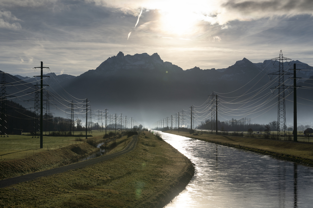
The Linth plain in eastern Switzerland has sunk by between 12 and 15 centimetres in recent years as the result of long-term drainage, media has reported.
The sinkage of the plain – the site of industries as well as a busy north-south motorway – was noticed by authorities in canton Glarus recently, the Neue Zürcher Zeitung reported on Saturday.
Measurement work in the area consistently discovered discrepancies compared to values in the national database, cantonal authorities communicated at the time.
+ Read more: mapping Switzerland from the air
An expert from the Federal Office of Topography (swisstopo) told the NZZ that the sinkage was part of a long-term trend. “The Linth plain and other areas where major waterway corrections were made in the 19th and 20th centuries – such as in the Jura – are still subsiding today due to soil drainage,” Helena Åström Boss said.
The data have meanwhile been corrected, the NZZ writes, and there have been no border shifts or obvious changes in the landscape for the population.
The Swiss reference point for altitude measurements was fixed in 1902 at a site in Geneva, at 373.6 metres above sea level. A network of over 8,000 bench marks are also placed 1-2 kilometres apart along main roads throughout the country.
+ From the archives: pioneering scientists and geologists in Switzerland
And while some parts of the country are sinking, others are rising: “measurements of the national levelling network have shown a relative uplift of the Alps of up to 1.5 millimetres a year with respect to the Central Plateau”, swisstopo writesExternal link.

In compliance with the JTI standards
More: SWI swissinfo.ch certified by the Journalism Trust Initiative
You can find an overview of ongoing debates with our journalists here . Please join us!
If you want to start a conversation about a topic raised in this article or want to report factual errors, email us at english@swissinfo.ch.