


AI used to measure snow depth with images from space
With the help of artificial intelligence (AI), researchers can read snow depths in Switzerland from satellite images. This method is more accurate and faster than previous methods, according to the federal technology institute ETH Zurich.
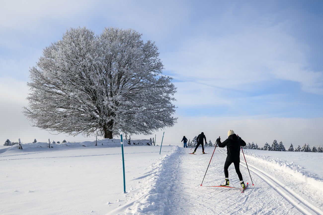
Data on snow depth is an important basis for winter tourism, hydropower and for assessing the risk of avalanches from winter sports enthusiasts, ETH Zurich said on Thursday.
Until now, snow monitoring in Switzerland has mainly been based on data from measuring stations, ETH Zurich explained in a press release. As there are only around 400 stations for the whole of Switzerland, the snow data for many locations is rather inaccurate.
+ Snow cover in the Alps declining, new study shows
The researchers from ETH Zurich and the Swiss company Exolabs used images from the European Space Agency’s Sentinel-2 satellites for the measurements based on satellite images. Every five days, these satellites record images for every location on Earth. In addition to the satellite images, the researchers therefore fed the AI with comprehensive terrain data for Switzerland.
Using this satellite and terrain data, they trained the AI to derive the snow depth for any given point. To do this, they used a method called supervised learning. They had the system estimate the snow depths and compared the results with real snow measurements.
“At each grid point, we determined how far off the mark the AI was with its estimate and gradually adjusted the system so that the errors became smaller,” explained Konrad Schindler in the ETH press release.
+ Artificial intelligence: an opportunity or a risk?
‘New standard’
“While the best existing snow maps in Switzerland have an effective resolution of around 250 by 250 metres, you can zoom in on our maps down to ten by ten metres to read the snow depth,” Schindler said. “We believe that we are setting a new standard for snow depth measurement in Switzerland.”
In addition to the satellite images from Sentinel-2 satellites, the researchers also use images from other satellite missions, which are less accurate in spatial terms but provide daily images.
This news story has been written and carefully fact-checked by an external editorial team. At SWI swissinfo.ch we select the most relevant news for an international audience and use automatic translation tools such as DeepL to translate it into English. Providing you with automatically translated news gives us the time to write more in-depth articles. You can find them here.
If you want to know more about how we work, have a look here, and if you have feedback on this news story please write to english@swissinfo.ch.
External Content

In compliance with the JTI standards
More: SWI swissinfo.ch certified by the Journalism Trust Initiative
You can find an overview of ongoing debates with our journalists here . Please join us!
If you want to start a conversation about a topic raised in this article or want to report factual errors, email us at english@swissinfo.ch.