


Amid new technologies, ‘cartography has its place’
Coinciding with its 175th anniversary, the federal mapping agency swisstopo is taking on the GPS and Google maps age with innovations of its own. But do swisstopo’s offerings continue to meet a unique demand in today’s crowded mapping landscape?

swisstopo’s online “time travel” tool is supposedly the first of its kind in the world and allows users to choose a spot on the Swiss map and watch, through an instant overlay of map editions, how that place has changed over a certain period of time.
The tool was developed in response to a 2007 Swiss law stipulating that the producers of national map data make historical map information available in the same capacity as new data. That meant providing old editions of maps for widespread public use instead of only publishing new editions, as the agency had been tasked with previously.
“Everyone who is interested in a historical event depicted on a map would find this useful, and we expect a wide usage that extends from hobbyists to specialists,” said swisstopo map expert Martin Rickenbacher at an event unveiling the new tool.
But what role can another online mapping application play when nearly half the Swiss population – and 83 per cent of those younger than 30 – owns a smartphone that can download GPS and map data from anywhere?
“Of course, there are already interactive maps of all of Europe where one can see changes in country borders over several hundred years,” points out Christian Rohr, a professor of environmental and climate history at the University of Bern. “But, what’s different about the swisstopo ‘time travel’ tool is its extremely high resolution.”
The tool allows users to zoom in to a resolution of up to 200 metres, providing detailed birds’-eye views of geographic features and buildings.
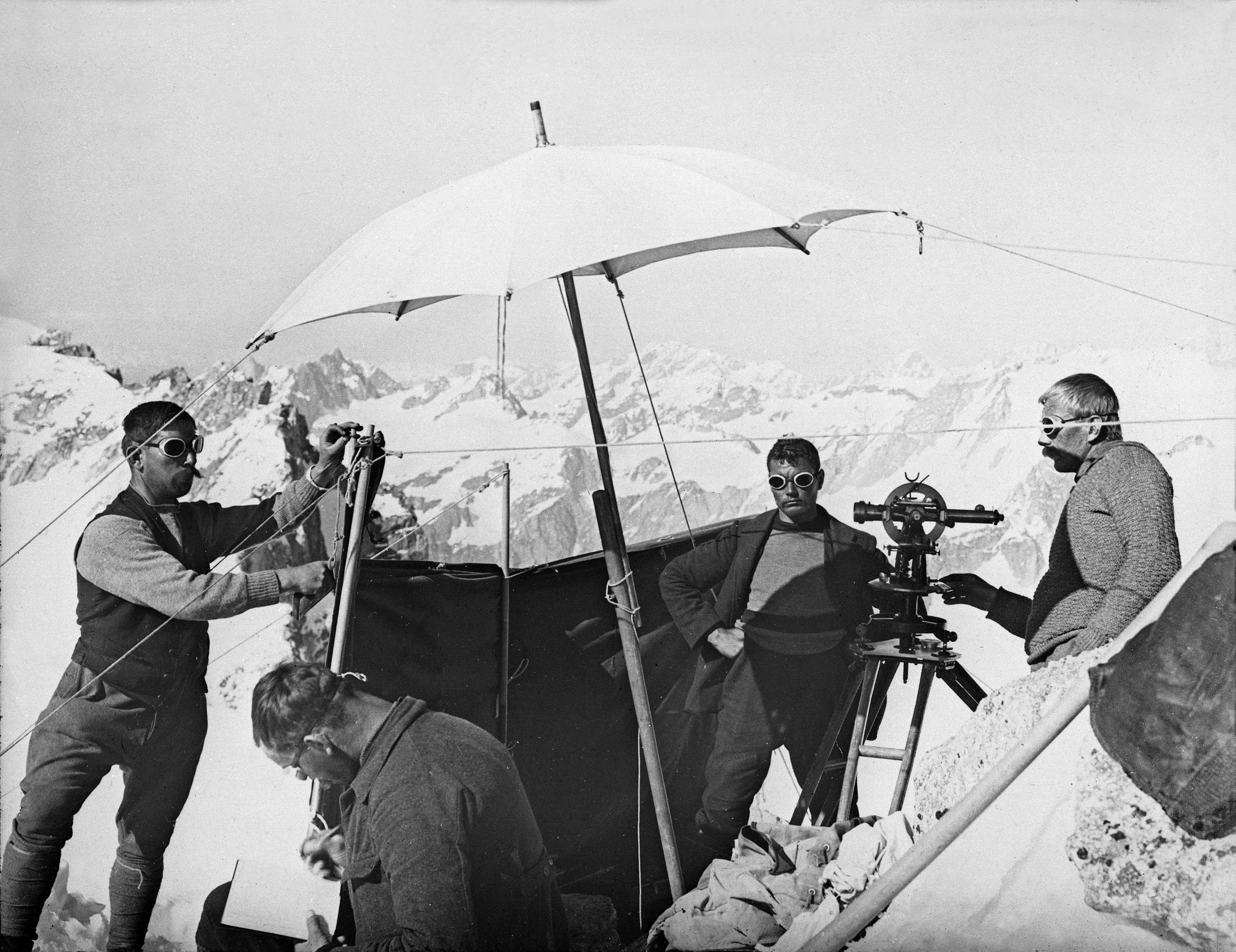
According to swisstopo, there are three types of historical maps included in the tool: the Dufour edition named after Swiss General and swisstopo founder Guillaume-Henri Dufour, which has a scale of 1:100,000; the Siegfried map series from 1870 with scales of 1:25,000 and 1:50,000; and the most recent national map edition, which offers all three. Swisstopo counts maps with up to a 1:1,000,000 scale among its offerings.
As part of its research into what Switzerland looked like in the past, Rohr’s department generates its own historical climatological data which it has, until recently, plotted onto a Google map. However, he says the department is in the process of moving all the data points onto a swisstopo map, which “will allow us to use not only a far more accurate and visually pleasing maps than Google but also reference the historical climate data according to the height above sea level”.

More
New online tool enables `time travel’
Educational value
Rohr tells swissinfo.ch that the tool will be especially useful in showing his students the way development has affected landscapes over time, especially the flood plain of the Gürbe river, which he is currently examining with a research group. The Gürbe flows 29 kilometres through canton Bern and its flood plain has been extensively manipulated for agricultural use.
Heidi Haag, a geographer at the Swiss Urban Planning Association, agrees the tool will be especially useful in the classroom – she regularly teaches introductory urban planning courses to adults who require a working knowledge of it, especially politicians.
And, Swiss map enthusiast and Web entrepreneur Simon Poole, who chairs the foundation overseeing the worldwide Openstreetmap project that includes more than a million map contributors, also sees primarily educational value in swisstopo’s newest offering, especially in light of key decisions the Swiss are currently making regarding development and planning – they will vote March 3 on whether to limit development areas over the next few decades to minimise urban sprawl.
“I think the tool illustrates nicely the drastic changes that the Swiss landscape has gone through, particularly in the last 50 years,” Poole told swissinfo.ch. “I can personally just remember the start of the building frenzy, and the tool helps with visualising the changes for children and adults alike who haven’t lived through this period.”
More
The globe, mapped by you
Laying the groundwork
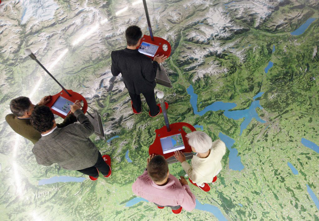
While Rohr’s research in Bern focuses on Switzerland’s climatological past, the work Professor Christophe Girot does in his landscape architecture lab at the Federal Institute of Technology in Zurich is trying to get a glimpse into the country’s topological future with three-dimensional design tools.
“We don’t use swisstopo in the conventional way because we are really interested in 3D tools and 3D planning and design issues,” he says. “We work a lot with ecosystems services and we believe that the next generation of teaching has to do with 3D Geographic Information Systems.”
For example, Girot and his fellow researchers use tools called terrestrial laser scanners to build on two-dimensional swisstopo maps, embedding a highly defined 3D model within them. The goal is to see into the future and understand how climate change and other factors could influence the Swiss landscape in years to come.
For its part, swisstopo has also begun to delve into three-dimensional technology, offering custom-made 3D panoramas and “flights” designed to show map points from multiple angles. But, Girot continues to see a need for swisstopo’s more traditional work as well.
“I think that cartography has its place and it’s of very high value [in Switzerland],” he tells swissinfo.ch. “I work in the third world and I know few countries that have the level of precision on their territory that the Swiss do, so it’s an incredible treasure to have that. I see the 3D approach as complimentary [to traditional cartography], especially in alpine settings”.
Into the future
As to what swisstopo will look like in another 175 years, nobody can be certain. However, Poole believes the agency’s future lies in focusing on what it does best.
“Likely they will retain a big role in the provisioning of conventional paper maps, if simply because nobody else can economically produce them due to shrinking market size,” he says. “And, in the future, they are probably going to remain the one-stop shop for geo-information in Switzerland, [aside from] the cantonal agencies”.
To mark 175 years since Guillaume-Henri Dufour founded the Federal Topographical Bureau in Geneva, swisstopo is offering a host of special projects in addition to the “time travel” tool.
A geocaching contest throughout 2013 encourages the public to find one “cache” per month in locations across Switzerland. Those who find them all can participate in a final contest in January of next year.
And, the website tiptopo.ch offers a series of online interactive offerings ranging from geography quiz games to virtual trips through Swiss history with anecdotes from swisstopo.
Finally, in September, swisstopo will open the doors of its offices in Wabern near Bern to the public for a tour.

In compliance with the JTI standards
More: SWI swissinfo.ch certified by the Journalism Trust Initiative
You can find an overview of ongoing debates with our journalists here . Please join us!
If you want to start a conversation about a topic raised in this article or want to report factual errors, email us at english@swissinfo.ch.