








How melting glaciers are redrawing Switzerland’s maps

Switzerland’s glaciers lost vast amounts of ice in this summer’s baking heat. The changes are increasingly visible on the country’s maps.
Select your language
Generated with artificial intelligence.
Listening:
How melting glaciers are redrawing Switzerland’s maps
Thousands of aerial photographs are currently arriving at the Federal Office of Topography (swisstopo) in Wabern, near Bern. The images were captured by swisstopo’s aerial survey service, which this year focused on the Alps in cantons Valais and Vaud. Every year, the federal government flies over roughly a third of Switzerland to document changes in the landscape.

“I’m a child of the mountains,” says Tobias Providoli, who heads a team of 35 people at swisstopo. Yet he can barely bring himself to look at the latest images. “I try not to compare them with the old ones, because the decline is so dramatic. I don’t even open those images in the first place.”

More
A fifth of Swiss Alpine ice has vanished in five years
Since 1838, the institution that is now swisstopo has been documenting and mapping Switzerland. Among the most striking changes is the retreat of the country’s glaciers. “It is not just the glacier itself that is changing in size,” Providoli says. “The entire glacial foreland is changing too: the rocks, the loose material and moraine areas. It’s a highly dynamic landscape.”
The Federal Office of Topography has been taking aerial photographs of Switzerland since 1926 and has operated its own flight service ever since. Today, two aircraft are used to re-photograph around a third of the country each year. As a result, Switzerland is fully re-mapped every three years.
A high-resolution digital camera captures several images simultaneously, including standard colour photographs and infrared images.
Most flights take place in summer. In spring, aircraft typically survey the central Swiss Plateau region, when vegetation is still sparse and the terrain is clearly visible. The Alps, by contrast, are photographed in August and September, when most areas are free of snow.
Good weather and clear visibility are essential for all aerial photographs.
Morteratsch Glacier in 2022 and 2025
>>The Morteratsch Glacier near Pontresina, canton Graubünden, in 2022 and 2025 (right). During this period, the glacier tongue retreated by dozens of metres Use the slider to compare. (Images: swisstopo)
External Content
The aerial photographs provide the basis for Switzerland’s digital national map as well as traditional paper hiking maps. But maps are only two-dimensional and often fail to show the true extent of glacier retreat, Providoli explains.
When comparing current and historical images, most people notice how far the glacier tongue has retreated. “In our computer images, we can also see the loss of glacier volume,” he says. In that respect, the summer 2026 heatwave has left a clear mark.
More
The beneficial effect of avalanches on Alpine glaciers
The slow death of the glaciers
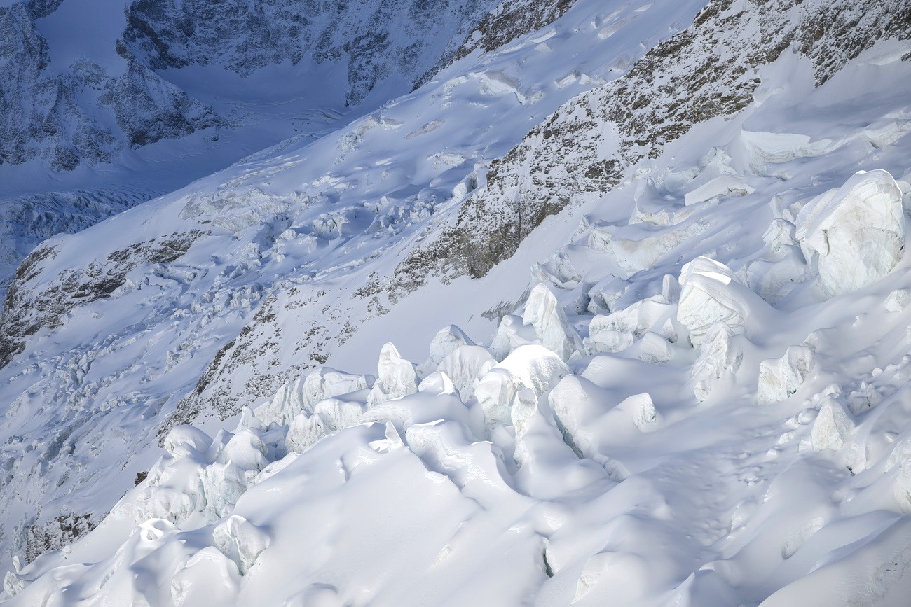
According to the Swiss Glacier Monitoring Network (Glamos), average glacier ice thickness fell by between 2.5 and 4 metres between 2025 and 2026. In some places, little ice will remain and so-called “dead ice” will form. Providoli is also observing this development first-hand.
“Dead ice refers to ice masses that have separated from the original glacier. They are slowly moving towards their demise, which is where the term comes from,” he explains.
If no ice is visible in the latest aerial photographs, a glacier is considered dead and its name is removed from the register. According to Glamos, at least two glaciers are likely to have disappeared permanently this summer: the Bella-Tola Glacier in canton Valais and the Griessfiren in canton Glarus.
Bella-Tola Glacier in 1976 and 2021
>>The Bella-Tola Glacier in canton Valais. The first map section dates from 1976, the second from 2021. By the summer of 2026, the glacier had effectively disappeared. Use the slider to compare. (Images: swisstopo)
External Content
It takes several months for changes in the natural environment to be reflected on maps. Although software helps to update the data, human expertise is still needed when it comes to glaciers, Providoli says.
“Mapping the glacier tongue is relatively straightforward. Along the sides of the glacier, however, it is much harder to distinguish between scree, rock and ice.” As a result, aerial photographs still have to be interpreted by experts, with changes manually recorded in the system.

And the work does not stop there. Even in the high mountains, on the snow-capped peaks, glacial retreat leaves its mark.
“If I have a snow-capped mountain and the glacier melts away, it loses height,” Providoli says. “That elevation then has to be adjusted as well.”
Over the coming months, Providoli and his team will calculate and record exactly how much height individual peaks have lost as a result of this year’s glacier melt. One thing is certain: Switzerland’s snow-capped summits have shrunk.
More
Why melting glaciers affect us all
Translated from German, sub-edited by Simon Bradley/gw

In compliance with the JTI standards
More: SWI swissinfo.ch certified by the Journalism Trust Initiative

You can find an overview of ongoing debates with our journalists here . Please join us!
If you want to start a conversation about a topic raised in this article or want to report factual errors, email us at english@swissinfo.ch.